
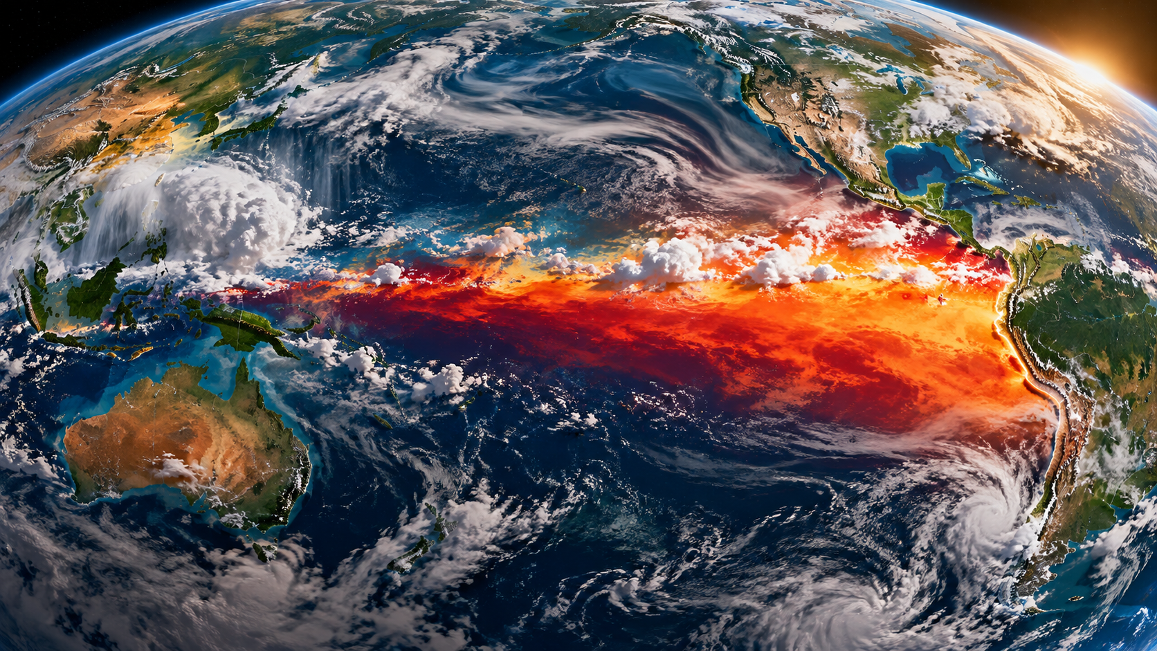
Far out in the tropical Pacific, an enormous interaction between ocean and atmosphere can reorganise weather patterns thousands of miles away. It can shift rainfall, alter drought risk, influence tropical cyclones and temporarily push the planet’s average temperature higher.
It is called El Niño, the warm phase of the El Niño–Southern Oscillation, or ENSO. It is natural, irregular and ancient. But in 2026 it has become especially important: the current event is strengthening rapidly and could rank among the most powerful observed in the modern record.
What exactly is El Niño?
Under normal conditions, easterly trade winds push warm surface water westward across the equatorial Pacific. Warm water accumulates toward Indonesia and the western Pacific, while colder, nutrient-rich water rises nearer the west coast of South America. Above the ocean, air rises over the warm western Pacific and sinks farther east, forming part of the atmospheric circulation known as the Walker Circulation.
During El Niño, that coupled system changes. The trade winds weaken or can temporarily reverse, warm water spreads eastward, the thermocline deepens in the eastern Pacific and the normal pattern of tropical rainfall shifts. Those changes in tropical heating then disturb atmospheric circulation farther from the Pacific, including jet streams and storm tracks.
This ocean-atmosphere coupling is why ENSO matters. El Niño is not simply “a patch of warm water”. The ocean changes the atmosphere, and the atmosphere feeds back onto the ocean.
El Niño, La Niña and neutral conditions
ENSO has three broad phases. El Niño is the warm phase; La Niña is the cool phase; and ENSO-neutral describes conditions closer to the long-term average. The cycle is irregular rather than clockwork, typically varying over periods of roughly two to seven years. Events differ greatly in strength, duration and geographical pattern.
Scientists monitor several regions of the equatorial Pacific. One of the most important is the Niño 3.4 region, spanning 5°N–5°S and 170°W–120°W. Sea-surface temperature anomalies there are combined with atmospheric indicators, including winds, pressure and rainfall, to assess whether the ocean and atmosphere are behaving as a coupled ENSO event.
Why can one ocean change weather around the world?
The tropical Pacific is vast. When a large area of it becomes unusually warm, the location of the strongest tropical thunderstorms and rising air changes. That redistributes heat through the atmosphere and generates what meteorologists call teleconnections: chains of atmospheric responses connecting the tropical Pacific to distant regions.
Historically, El Niño has increased the likelihood of wetter conditions in places including coastal Peru and parts of the southern United States, while increasing drought risk in parts of Indonesia, Australia, India, southern Africa and tropical South America. It can also increase wind shear over the tropical Atlantic, tending to suppress Atlantic hurricane activity.
But these are changes in probability, not promises. No two El Niños are identical. Other ocean patterns, atmospheric circulation, season, event strength and ordinary weather variability all matter. A flood during El Niño is not automatically “caused by El Niño”, and a region associated with El Niño drought can still experience heavy rain.
What does El Niño mean for Britain?
The UK is far from the tropical Pacific, so the connection is indirect and less reliable than in many tropical regions. The Met Office says El Niño can increase the likelihood of a windy, mild start to a UK winter and a colder end, but other climate drivers can overwhelm that signal. ENSO should therefore be treated as one ingredient in a seasonal forecast, not as a forecast of Britain’s weather by itself.
El Niño and global temperature
El Niño can temporarily raise global average surface temperature because a large amount of heat stored in the tropical Pacific Ocean is transferred toward the atmosphere.
This makes El Niño important when temperature records are broken. It does not, however, explain the long-term warming of the planet. ENSO oscillates between warmer and cooler phases and produces short-term variability; human-caused greenhouse-gas warming produces a persistent long-term trend. An El Niño now occurs on top of a warmer climatic baseline than an El Niño many decades ago.
Does climate change make El Niño stronger?
This is more complicated than the simple claim that “global warming causes stronger El Niños”. The IPCC finds no clear, robust long-term change in ENSO sea-surface-temperature amplitude that can yet be separated confidently from natural variability. Climate models also do not give a simple picture in which every future El Niño must become stronger.
There is stronger evidence that ENSO-related rainfall variability will intensify in a warmer climate. A warmer atmosphere can hold more water vapour, so the rainfall and drought consequences associated with ENSO can change even if the underlying Pacific temperature oscillation does not simply grow in amplitude. Some research assessed by the IPCC also projects an increase in extreme El Niño events when “extreme” is defined by their rainfall response, although uncertainties remain.
The 2026 El Niño: why scientists are watching closely
The present event is exceptional enough to deserve special attention. NOAA formally declared El Niño conditions in June 2026. By its 8 October 2026 diagnostic discussion, NOAA reported that El Niño had strengthened further: the Niño 3.4 sea-surface temperature anomaly had reached +2.1°C, with even larger anomalies farther east.
NOAA’s current assessment is that a strong-to-very-strong El Niño is likely through January–March 2027, with a probability greater than 83%. Earlier forecasts had raised the possibility of a historically intense event. The Met Office has described the developing 2026 signal as unprecedented in its forecasting experience, while stressing that the final magnitude and exact impacts depend on how the event evolves.
That distinction matters. A forecast of an extraordinary El Niño is not the same thing as an observed final record. As of October 2026, the scientifically defensible statement is that the event is already very strong and still strengthening, with the possibility of historically exceptional strength.
What might happen next?
A strong El Niño increases the chance that familiar ENSO impacts will emerge more clearly, but it cannot tell us exactly where every flood, drought, heatwave or storm will occur. Seasonal forecasting works in probabilities. As the event develops, national meteorological agencies refine those probabilities using the actual state of the oceans and atmosphere rather than relying only on historical averages.
There is also a potential global-temperature consequence. Strong El Niños often have their largest influence on global mean temperature around or after their Northern Hemisphere winter peak. The Met Office has warned that the present event could contribute to exceptionally high global temperatures in 2027. That would represent a combination of natural ENSO variability and the underlying human-caused warming trend, not one or the other.
Why El Niño matters to people
The consequences are not confined to weather maps. Changes in rainfall and temperature can affect harvests, fisheries, drinking-water supplies, hydroelectric generation, wildfire conditions, infectious-disease risk and food prices. WMO has documented how recent El Niño conditions have contributed to drought and food insecurity in some regions while intensifying heavy rainfall and flooding in others.
That is why forecasting ENSO months ahead has practical value. It gives governments, farmers, humanitarian organisations, water managers and health services time to prepare. El Niño cannot be stopped, but vulnerability to its effects can be reduced.
The danger of blaming everything on El Niño
When a powerful El Niño occurs, it is tempting to use it as a universal explanation for unusual weather. That is scientifically misleading. ENSO changes the odds of particular seasonal patterns; it does not control every storm or heatwave, and attribution of an individual extreme event requires specific analysis.
The opposite mistake is equally misleading: using El Niño to dismiss long-term climate change. Natural variability and human-caused warming operate simultaneously. El Niño helps explain why some individual years jump above or below the underlying trend. It does not explain why that trend has risen over many decades.
A natural cycle on a changing planet
El Niño has existed for thousands of years. It is not a modern invention and it is not evidence, by itself, of climate change. What has changed is the background climate in which the cycle now operates.
That makes the 2026 event scientifically fascinating and potentially consequential. One of Earth’s most powerful natural climate oscillations is unfolding on a planet that is already warmer than it was during the great El Niños of the twentieth century.
The question is therefore not simply whether El Niño will change the weather. We know it will shift the probabilities. The more important questions are where, by how much, and what happens when a powerful natural climate cycle meets a warmer world?
Watch: What is El Niño?
Met Office: an animated explanation of El Niño and its global weather effects.
Sources and further reading
- NOAA Climate Prediction Center — ENSO Diagnostic Discussion
- Met Office — El Niño, La Niña and the Southern Oscillation
- Met Office — The exceptional 2026 El Niño and forecast implications
- IPCC AR6 Working Group I — Regional climate information and ENSO
- World Meteorological Organization — El Niño and climate impacts
Current ENSO status and probabilities in this article are dated 8 October 2026 and will change as new observations and forecasts become available.